
Madinah Bus New Routes With Updates on Google Maps
Table of Contents
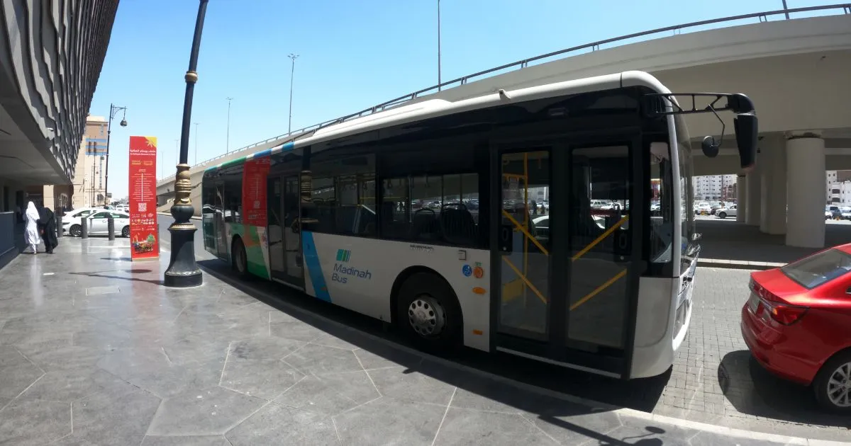
The “City Bus Network” project in Medina launched Madinah Bus New Routes as part of the public transportation system, bringing the total number of routes to 15, covering the most densely populated neighborhoods and areas across the city.
The Madinah Development Authority—the supervising body of the project—explained that the 177-bus fleet serves passengers through more than 455 main and secondary stops along the network’s 639 km of routes.
Key Routes & Operating Hours:
- 24/7 Service Routes:
- Prince Mohammad bin Abdulaziz International Airport – Prophet’s Mosque (6 stops)
- Miqat – Haramain High-Speed Rail Station (33 stops)
- Al-Faisaliyah – Madhinab (52 stops)
- Sayyid al-Shuhada Square – Al-Aliyah (29 stops)
- Al-Qaswa – Al-Khalidiyah (37 stops)
- 22-Hour Daily Service Routes (10 routes):
- Quran Printing Complex – Al-Khandaq (20 stops)
- Al-Faisaliyah – Miqat (39 stops)
- Jabal ‘Eir – Al-Daithah (30 stops)
- Miqat – Industrial Cities (12 stops)
- Mahzur – Bustan Al-Safiyah (16 stops)
- King Fahd District – Quba Mosque (31 stops)
- Shuran – Al-Arid District (56 stops)
- Al-Mab’uth – Al-Uyun (29 stops)
- Airport District – Al-Aliyah (44 stops)
- Al-Aliyah – Al-Qaswa (22 stops)
Project Impact:
- Over three years, the project has improved traffic flow on Medina’s main roads.
- Enhanced public transportation quality in line with Saudi Vision 2030 goals.
- Reduced environmental pollution from vehicle emissions.
- During peak seasons like Ramadan, the service efficiently facilitated transportation for worshippers and visitors to the Prophet’s Mosque with 24/7 shuttle buses.
The buses are designed with high-quality standards to ensure passenger comfort and convenience.
Madinah Bus System Now Fully Integrated with Google Maps for Real-Time Updates
The Madinah Bus Project, under the Madinah Development Authority, has announced the full integration of all public transport stations in Madinah with Google Maps, in line with the newly approved bus routes.
This update introduces several smart features designed to enhance the efficiency of public transportation, including:
✅ Accurate display of bus lines and updated routes
✅ Real-time bus tracking
✅ Live traffic congestion updates
✅ Precise arrival/departure times at stations
These improvements aim to save time and effort for users when planning their daily commutes, ensuring a smoother travel experience for both residents and visitors.
Enhancing Public Transport in Madinah
This initiative is part of broader efforts to modernize Madinah’s public transport system, connecting key religious, historical, and service landmarks through an efficient network. The goal is to facilitate easy and seamless movement across the city for pilgrims, tourists, and locals alike.
What This Means for Travelers
- Tourists and pilgrims can now rely on Google Maps for real-time bus schedules, reducing wait times.
- No more uncertainty—check live updates before heading to a bus stop.
- Better route planning to the Prophet’s Mosque, Haramain High-Speed Rail Station, and other key destinations.
How to Use the Updated Features
- Open Google Maps and enter your destination.
- Select the public transport (bus) icon.
- View real-time departures, routes, and congestion alerts.
This upgrade ensures a more convenient and stress-free travel experience in Madinah.